
Walking a San Diego Street Directory Trail
A street-level search needs a fixed starting point and a record order. Begin with the complete address, including direction and suffix. Confirm that the postal address is inside the City of San Diego before treating a city department as the right custodian. Then use the parcel and map layers to identify the APN, preserve the situs and mailing addresses, and follow the owner into the recorded-document index. Historical occupants require a different branch, using reverse directories, census schedules, and newspaper or cemetery evidence.
The five-step San Diego street directory workflow keeps the roles clear:
- Convert the address to an APN with SanGIS or the City Address Points-to-APN data, and note the jurisdiction, ZIP, community plan, and map date.
- Check the county parcel route for owner, mailing address, legal description, use type, values, and available characteristics. Owner and occupant are not interchangeable.
- Search the same owner as a grantee in the ARCC Recorder index, inspect the deed image or copy, and compare its legal description with the current parcel.
- Use OpenDSD or Accela for address-linked permits and code cases, then use the voter self-check only for an eligible authenticated record.
- For past households, read the alphabetical and reverse sections of a directory year, pair it with a census or obituary, and record every date.
Note: An address result should name its source role, such as owner, permit applicant, voter self-check, or historical occupant.
San Diego Address to APN
The San Diego Address Points-to-APN dataset supplies situs data that is updated weekly. SanGIS also accepts address, APN, or street intersection searches. The point is not a claim about who lives at a location. It is the bridge from a road label to a parcel identifier. A parcel may carry several addresses, a flag lot may not look like a normal house number, and a postal label may cross a city line.
The Address Points-to-APN source screenshot below shows the kind of geography handoff that supports a street directory search.
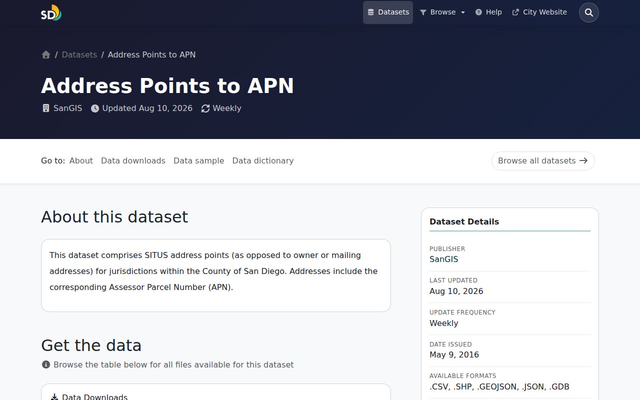
After the APN is known, preserve three separate values: the situs or physical location, the tax mailing destination, and the legal description. Those values may diverge. The legal description can survive a parcel split, merger, or street-label change when a simple address search does not.
- Parcel
- A mapped property unit identified by an APN and legal description.
- Situs address
- The physical location used to place a parcel on the ground.
- Plat
- A recorded subdivision or parcel map showing lots, blocks, and boundaries.
- Criss-cross directory
- A historical address- or street-ordered directory used to identify occupants or businesses.
SanGIS Layers for a San Diego Street
The SanGIS Interactive Map is a parcel and boundary viewer, not a promised owner directory. Search by address, APN, or street intersection. Turn on parcel polygons and APN labels, then add only the layers that answer the question: jurisdictions, ZIP, community planning areas, districts, census facts, land use, or roads. Click each parcel that touches the chosen street segment and save the APN, address, jurisdiction, and data date.
SanGIS data updates monthly, while address points are updated weekly. The underlying map can show roads, parcels, parks, landmarks, county boundaries, districts, and many thematic subjects. A clicked parcel may reveal situs and APN, jurisdiction, special districts, census facts, and selected layer attributes. It does not promise a public owner name. Resolve each APN through the assessor rather than guessing from the map.
The OpenDSD approval-search source screenshot is a useful visual check before the parcel-by-parcel work begins.
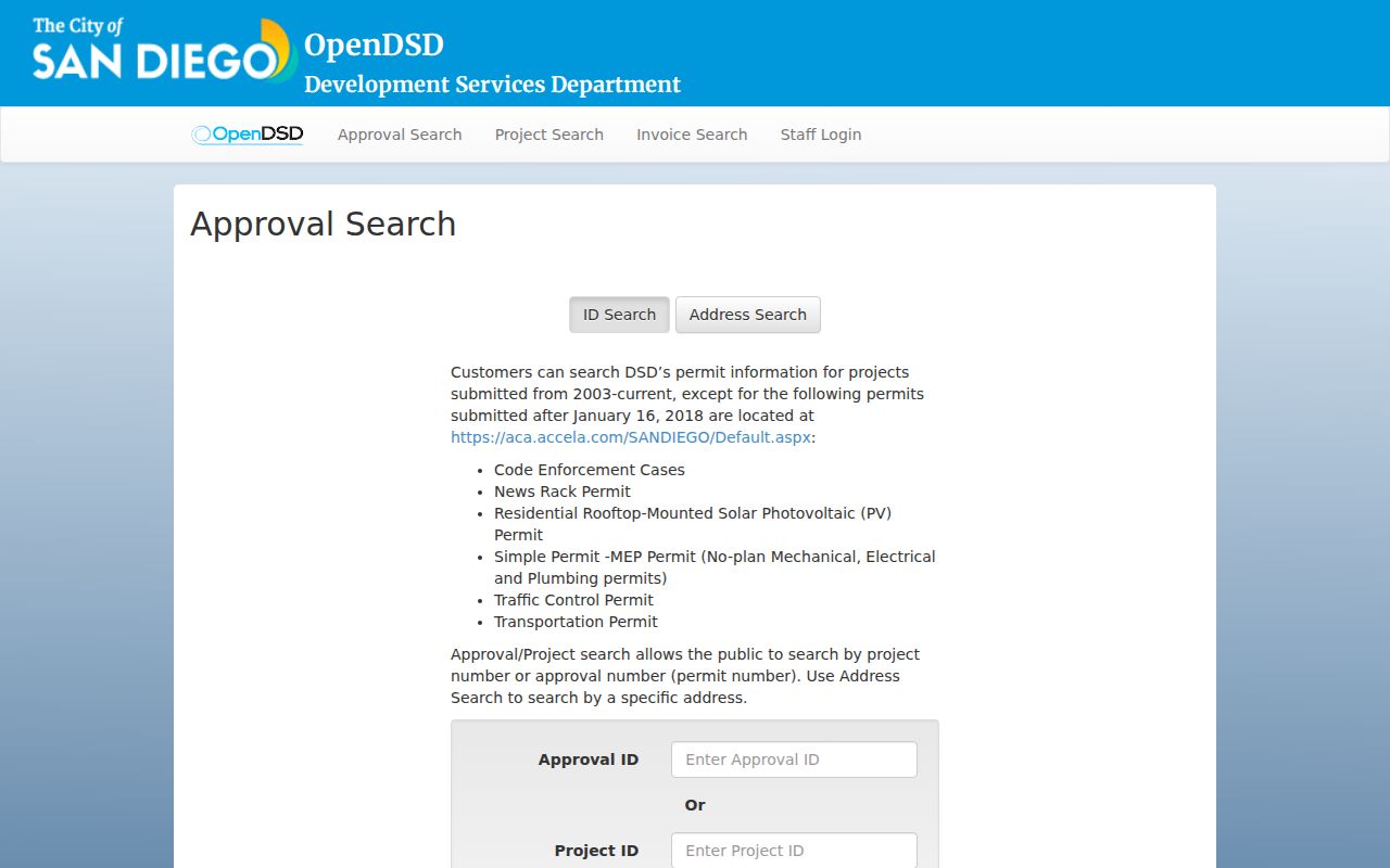
The image comes from the manifest’s permit-search source, while SanGIS supplies the geographic frame. Together they show why a street directory uses both a map and an address record.
| Address | Locates a situs or road segment. |
|---|---|
| APN | Identifies a parcel for assessor and recorded-document work. |
| Street intersection | Starts a block walk when a full address is not known. |
| Layer groups | Show ZIP, jurisdiction, community plan, district, census, and land-use context. |
San Diego Street Records by Address
Address-keyed records answer different parts of the same question. A San Diego street directory should not collapse a permit applicant, property owner, voter, business contact, and past occupant into one household label. The coverage table below shows how to move from a road name to the record that actually fits the question.
| Record Set | Keeper | Street Evidence | Access |
|---|---|---|---|
| Parcel assessment | San Diego County Assessor | Owner, mailing address, APN, legal description, values | ParcelQuest, phone, kiosk |
| Parcel and boundary map | SanGIS | Adjacent parcels, ZIP, districts, plans, land-use layers | Free map and data routes |
| Deeds, liens, notices | ARCC Recorder | Grantor, grantee, document type, date, legal description | 1970+ party index; kiosk, archive, copy order |
| Permits and approvals | City Development Services | Project, address, applicant, status, dwelling-unit change | OpenDSD, Accela, counter, appointment |
| Code cases | City Development Services | Case, description, open and close dates, address | OpenDSD or Accela; older files by request |
| Historical directories | SDPL and History Center | People or businesses at a street address by year | Digital scans, shelf, microfilm, onsite |
The street name ties the records together only after spelling, direction, suffix, and jurisdiction are normalized. The APN ties parcel and deed evidence. A directory year supplies occupant context. A permit dates physical work, not a move. A business address shows business presence, not a home. This is why by-address research needs a chain rather than a single result.
OpenDSD Permits on San Diego Streets
The OpenDSD Approval Search accepts an approval ID, project ID, or address mode. In address mode, enter an integer street number, choose the base road name from the autocomplete list, and run the search. Result fields include approval ID, approval type, status, street address, project ID, title, and change in dwelling units. Most project data begins in 2003, but the portal excludes several categories that moved to Accela after January 16, 2018.
The Development Services records source address-search interface below is a useful example of a San Diego street directory’s development-record branch.
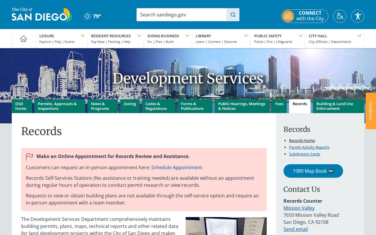
Development Services offers public self-service stations without an appointment, while building-plan review requires an in-person appointment. Records Counter service is at 7650 Mission Valley Road, San Diego, with published split hours Monday through Thursday and Friday morning. Post-1955 building records use the Records Review route; pre-1955 files are referred to the Assessor. The permit result dates activity at an address, but it does not prove who occupied it.
Code Cases Along a San Diego Address
The OpenDSD Code Enforcement search offers ID mode and address mode. Address mode takes an integer street number, a base road name without direction or suffix, a road selection, and sorting. Results typically show case ID, description, open date, close date, and street address. After January 16, 2018, some cases may be in Accela.
The OpenDSD code-enforcement source interface in the manifest screenshot shows the address-focused part of the street directory workflow.
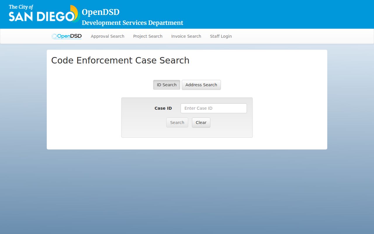
A code record can date a complaint or enforcement episode and indicate whether it remains open. It does not establish the identity of an occupant, and the source of a complaint may be withheld. Use the project or case number when asking for an existing file, and keep applicant, contractor, owner, and occupant roles separate.
San Diego Street Deed Chain
ARCC’s online Official Records Index covers 1970 forward and searches parties as grantor or grantee. Online APN search ended in December 2024, so the address path now starts with ParcelQuest, phone assistance, SanGIS, or an in-person kiosk. Search the present owner as a grantee, capture the document number, recording date, instrument type, grantor, and legal description, then search the seller as an earlier grantee. Repeat until the legal description no longer matches.
The web index is free to search, but images and certified or regular copies use the kiosk, counter, or mail route. ARCC mail orders need document number, year, at least one party, and document type. For earlier records, County Archives at 10144 Mission Gorge Road in Santee holds deed and index series reaching into the nineteenth century. The archive is open Monday through Friday, 8 a.m. to 5 p.m., and lists 619-237-0502 and archives@sdcounty.ca.gov.
A deed chain is a property trail, not a list of every San Diego resident. Quitclaim deeds, reconveyances, liens, trustee instruments, and corrective documents do not all describe an ordinary purchase. When APNs split or merge, use tract, lot, block, map number, and legal description to bridge the change.
Reading San Diego Reverse Directories
Historical reverse or criss-cross directories are the address side of a city directory. The alphabetical entry supplies spelling, occupation, spouse notation, and a year. The street section can show a name, business, or vacancy at a particular address. San Diego Public Library advertises city directories from 1886-2021, and the San Diego History Center describes city and county directories from 1886-1984, telephone directories from 1906 onward, and community directories.
Start with a year close to the address event. Photograph or transcribe the abbreviation key. Check the alphabetic section, then the street section, and repeat for nearby years. A one-year appearance can reflect a move, a publication lag, an omitted household, an unpublished telephone listing, or a business trade name. A reverse directory shows a printed snapshot, not legal ownership or a complete household.
The full historical shelf and publisher runs belong in the San Diego Directory Book collection guide, while this street workflow uses the reverse section as one step in an address chain.
Three San Diego Street Keys
San Diego address research fails when three kinds of address are treated as one. Situs identifies the physical parcel. A tax mailing address identifies where notices go. A legal description identifies the land interest. An address index may also carry a postal ZIP, community plan, council district, or census geography. Each key has a purpose and none automatically proves occupancy.
| Key | Question It Answers | Common Mistake |
|---|---|---|
| Situs | Where is the parcel physically located? | Assuming the point equals the building or household |
| Mailing address | Where does the owner or taxpayer receive correspondence? | Calling it the owner’s residence |
| Legal description | Which tract, lot, block, or metes-and-bounds land is recorded? | Dropping it when a street label changes |
| ZIP or plan area | Which delivery or civic geography contains the address? | Calling postal geography a city boundary |
SanGIS ZIP polygons are approximate, and USPS treats ZIP as a delivery-office routing identifier rather than a legal boundary. An address search should save the exact address and map date before moving into parcel or city records.
San Diego Street Voter Limits
The County voter form authenticates a person’s own record with address and birth-date fields. It does not reveal everyone registered along a San Diego street. California restricts voter-file use to approved purposes and prohibits private browsing, solicitation, harassment, and other nonpermitted uses. A voter file request uses an application, requester identification, a stated purpose, security promises, and applicable fees. A specific-voter product may require exact name, birth date, and residence address.
That limit changes how address research should be written. Use the voter tool for self-check and authorized records work, not as a shortcut to a block roster. Renters, relatives, roommates, utility customers, DMV addresses, and protected voters do not form a public household list. If a lawful records question needs an identifiable existing agency record, use a focused request and let the Registrar apply Elections Code sections 2188, 2188.5, 2194, and 18109.
Limits of a San Diego Street Directory
A San Diego address trail can connect a location to public parcel, deed, permit, map, or historical directory evidence. It cannot reveal every person at an address. Household members who are not owners or named in an accessible source may remain absent. Utility and alarm subscriber information is protected. DMV residence data is restricted under the federal Driver’s Privacy Protection Act and California rules. A public mailing label identifies an owner or assessor recipient, not every nearby resident.
Lawful use. Address records are appropriate for personal research, house history, genealogy, and civic understanding. Using a San Diego address trail to stalk, harass, intimidate, or harm any person is prohibited and may violate California law.
Set a clear boundary before collecting results: one parcel, both faces between two cross streets, or a stated radius. Record whether corner and flag lots are included. A reproducible boundary is more honest than a vague claim about everyone on a street.