
Looking Up San Diego Neighbors by Block
A San Diego neighbor lookup combines a map, parcel record, and community layer. SanGIS shows the block shape and available geography. The assessor resolves an APN to an owner or mailing record. Development Services can date public project or code activity. Reverse directories can show historical occupants. Community planning groups connect an address to a public civic contact. The table keeps these sources from becoming one unsupported household claim.
| Source | What It Shows About a Block | Access |
|---|---|---|
| SanGIS parcel viewer | Adjacent shapes, APNs, situs, ZIP, districts, selected layers | Free map; formal buffer package is paid |
| Address Points-to-APN | Weekly situs and APN data for a reproducible starting set | Downloadable data route |
| County Assessor | Owner, mailing address, characteristics, legal parcel clues | Parcel route, phone, kiosk |
| Development Services | Projects, permits, code cases, open and close dates | OpenDSD, Accela, counter |
| Community planning groups | Chair, planner, meeting contact, place, and time | Public civic contact, not member roster |
| Reverse directories | Past occupants or businesses by address and year | Library or History Center, year dependent |
Owners, occupants, voters, renters, and civic contacts are different categories. A parcel map can show a condominium footprint with several assessment interests, or one parcel with several units. Visual neighbors are not automatically one household. Define the block before collecting names.
Clicking Parcels Around a San Diego Address
Use the SanGIS Interactive Map to locate the subject address or APN. Zoom until parcel polygons and APN labels are visible. Keep the road base map on, then click each touching or nearby polygon. Record address, APN, jurisdiction, selected layer attributes, and the data date. The method is reproducible because another researcher can use the same boundary and map settings.
- Choose a boundary: touching parcels, both block faces between two cross streets, or a stated radius.
- Search by address, APN, or street intersection and note the subject parcel.
- Click each adjacent polygon, preserving APN and situs without guessing an occupant.
- Resolve each APN through the Assessor, then compare mailing and situs fields.
- Use the San Diego street directory lookup when the question expands from the immediate block to a whole named street.
The flow is: address → parcel polygon → APN and situs → owner record → optional permit, directory, or civic context. Each arrow changes the kind of claim that can be made.
The community-planning image below shows the local geography layer that surrounds a parcel search.
Open San Diego Community Planning Group contacts before reviewing the image.
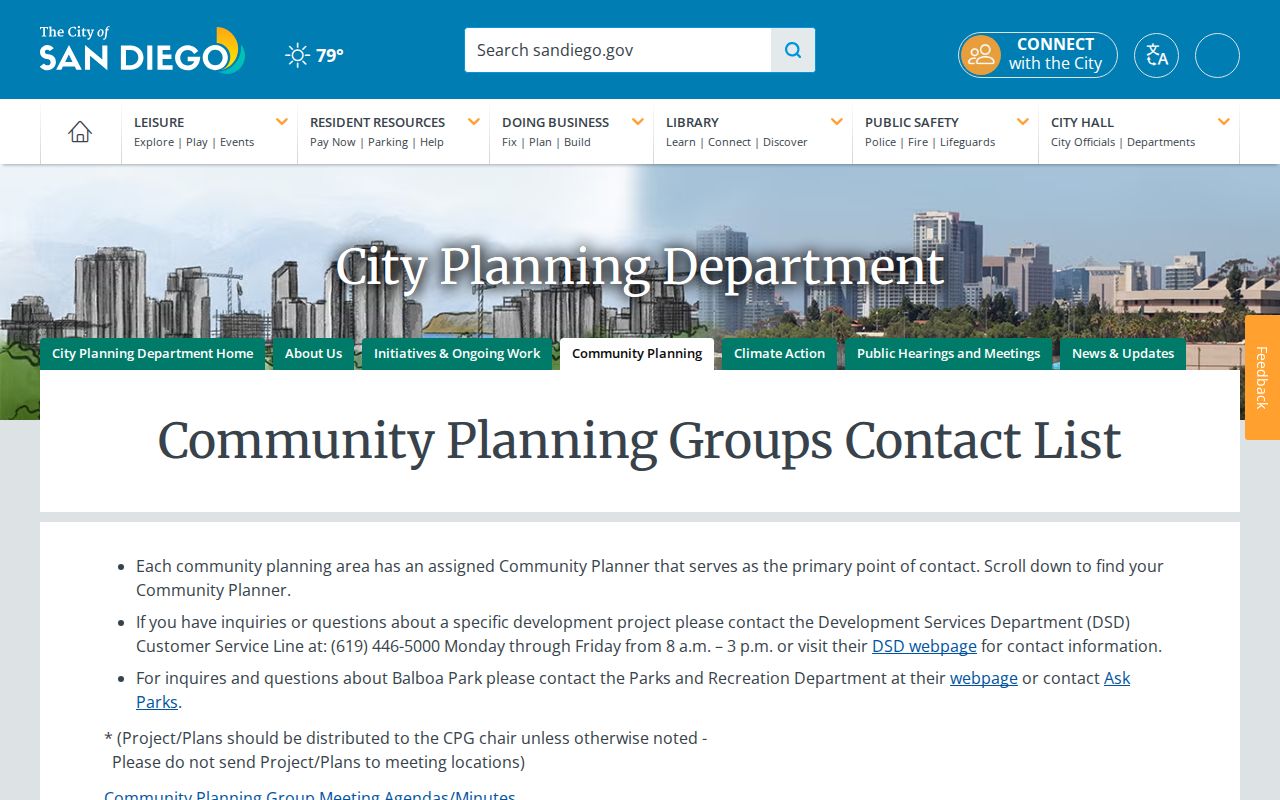
A planning contact connects the block to civic process, not to a public list of private neighbors.
Turning San Diego APNs Into Owner Records
The San Diego County Parcel Lookup Tool is primarily an address or APN route. Public parcel details may include property address, APN, owner, owner mailing address, legal description, use type, tax-rate area, assessed values, zoning, and characteristics. A broad owner-name sweep is not the right assumption for the public site. Phone assistance, kiosks, and county-authorized routes remain part of the access chain.
Resolve parcels one at a time. A mailing address may be outside the block. A trust, business, or multiple-owner entry may not look like a household name. A condominium project may contain many assessment interests under one building outline. A search for neighbors should quote the record as owner, mailing recipient, or parcel characteristic rather than turning it into a claim about who is present.
SanGIS does not promise public owner names. Use the map to define the adjacent set, then use the assessor or kiosk to resolve each APN. That separation is the main safeguard against overreading a map.
San Diego Neighbor Buffer
SanGIS offers a paid Site Notice Package with a buffer map, parcel spreadsheet, and mailing labels. The published office is at 5500 Overland Avenue, Suite 310, San Diego, CA 92123, phone 858-874-7000. Walk-in service is listed Tuesday through Thursday from 8 a.m. to 4 p.m., with digital requests on weekdays. The package is designed for notice geography, not as a resident or renter list.
A formal buffer can help when a boundary must be documented for a civic notice or parcel study. Read its labels correctly. Mailing recipients are owners or assessor mailing contacts, not every person who lives nearby. Set the radius or parcel set in advance, preserve the request date, and keep the package’s purpose attached to the data.
Insider tip. A stated radius is more useful than a vague “nearby” search because corner lots, flag lots, multi-unit parcels, and road edges change the neighbor set.
San Diego Neighbor Block Permits
Development Services adds a time layer to a block lookup. OpenDSD approvals generally cover projects submitted from 2003 forward, with several categories submitted after January 16, 2018 in Accela. Address search uses integer street number and a base road name selected from a road picker. Results can show approval ID, type, status, address, project ID, title, and dwelling-unit change. Code searches can show case ID, description, open date, close date, and address.
These records show public development activity, not a roster of neighbors. Applicant, owner, contractor, complainant, and occupant are separate roles. Older building records use the Records Review appointment or Assessor referral: post-1955 files are reviewed through Development Services, while pre-1955 material is routed to the Assessor. Public self-service stations and the Records Counter provide fallback channels when a portal has a gap.
Compare permit activity with parcel geometry and directory years when researching how a block changed. A project completion can support building chronology, but it does not identify every household.
San Diego Community Records for Neighbors
San Diego’s Community Planning Groups cover recognized planning areas such as Barrio Logan, Carmel Valley, City Heights, Clairemont Mesa, College Area, Downtown, Golden Hill, La Jolla, Linda Vista, Mira Mesa, North Park, Ocean Beach, Pacific Beach, Peninsula, Rancho Bernardo and Peñasquitos, San Ysidro, Scripps Ranch, Tierrasanta, University, and others. Public listings identify chairs, planners, meeting places, and contact routes.
| Planning contact | Public chair or planning liaison for a recognized area. |
|---|---|
| Meeting place and time | Civic access information, not a private address list. |
| Neighborhood association | Opt-in organization contact or agenda when published. |
| Member roster | Not presumed public; access depends on the organization. |
East Elliott and Tijuana River Valley are listed without active or recognized CPGs in the research. That absence is a geography note, not evidence that no neighbors or community groups exist. Use civic contacts to understand public meetings and planning boundaries, not to infer private relationships.
San Diego Neighbor ZIP Boundaries
A block can sit in a ZIP, community plan, council district, census geography, police neighborhood, school district, and parcel jurisdiction at the same time. ZIP polygons are approximate. Postal names can point to La Jolla, Del Mar, or another community while the civic custodian is the City of San Diego or San Diego County. Unique ZIPs for UCSD, SDSU, VA, or military installations should not be treated as ordinary residential neighborhoods.
For a neighbor lookup, save the map date and boundary type. Use the City planning layer for civic geography, SanGIS for parcel and boundary layers, and USPS for one complete deliverable address. Do not sum unrelated planning areas or call a Census ZCTA identical to USPS delivery geography. The next record office depends on jurisdiction, not on the postal label alone.
San Diego Voter Limits for Neighbors
The County voter-registration check uses house number, street name, street type, ZIP, and full birth date to authenticate an individual. Results can show voter information, vote centers, a pamphlet, and elected representatives. It does not reveal every voter at adjacent parcels. California Elections Code sections 2188, 2188.5, 2194, and 18109 restrict file access and prohibit private browsing, solicitation, harassment, and other nonpermitted use.
The voter privacy image below illustrates the difference between a self-check and a block-level name search.
Read the San Diego voter information and permitted-use source before reviewing the image.
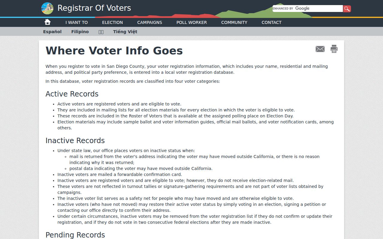
An approved voter-file request requires requester details, purpose, safeguards, and the appropriate product or fee. It is not an unidentified request for all voters on a block.
Official Rolls Versus Commercial Neighbor Tools
Official rolls and commercial neighbor tools have different strengths. The county map and assessor route define parcels and owner records with a named custodian. A community group publishes a civic contact when it chooses to. A reverse directory supplies a dated historical clue. A commercial compilation may merge public and nonpublic data, recycle old addresses, or join people with similar names. It can suggest a lead, but it does not replace a source record.
| Source | Useful for | Limit to state clearly |
|---|---|---|
| SanGIS and address points | Defining adjacent parcels and geography | No promised owner or occupant list |
| Assessor and recorded documents | Owner, mailing, APN, deed roles | Owner is not necessarily resident |
| Civic contacts | Planning meetings and public neighborhood process | No private member roster |
| Commercial compilation | Possible cross-source lead | Stale data, identity merge, uncertain origin |
The safest comparison asks which source created the fact, when it was current, and what the source does not claim. That standard keeps a San Diego neighbor lookup useful without inflating it into a household inventory.
San Diego Neighbor Lookup Limits
Renters, household members, utility customers, alarm subscribers, DMV addresses, protected voters, and people covered by Safe at Home do not form an open block list. Public notice mailing labels identify owners or assessor mailing recipients. A building outline can contain multiple units, and one parcel can include several interests. The California Delete Act and DROP portal can send a deletion or stop-sale request to covered data brokers, but they do not alter the county source record.
The California DROP portal screenshot below shows a downstream privacy route. Source corrections or statutory redactions must still go to the recorder, court, assessor, Registrar, licensing board, or other custodian that holds the record.
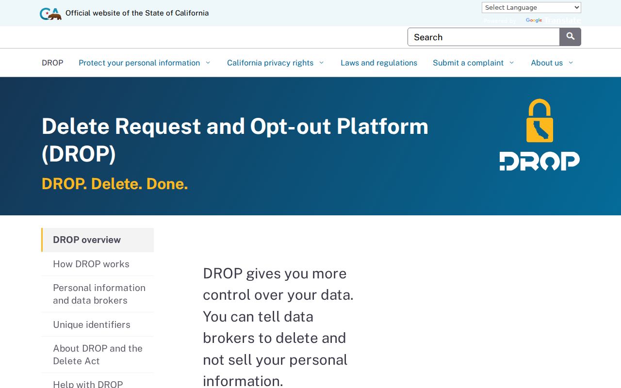
Safe at Home offers eligible participants a substitute mailing address, mail forwarding, and related protections. It is prospective and does not guarantee that an old address disappears from every private source.
Lawful use. A San Diego neighbor lookup can support civic awareness, personal safety planning, family history, and respectful reconnection. Do not use a parcel or name trail to stalk, harass, intimidate, or harm any person.