
San Diego ZIP Geography for the City
San Diego’s ZIP code directory needs two labels: city-serving codes and nearby or special codes that can appear in a San Diego postal address without describing a conventional residential area. SanGIS warns that its ZIP polygons are approximate, while USPS treats ZIP as a delivery-office routing identifier. The table uses the practical coverage documented in the research. The post-office column stays at a verification level because a complete current station roster was not captured in the source material.
| ZIP Code | Areas Covered | Post Office | Notes |
|---|---|---|---|
| 92014 | Torrey Pines and Del Mar fringe | Verify with USPS | Partly City; postal name may be Del Mar |
| 92037 | La Jolla | Verify with USPS | Mostly inside the City |
| 92067 | Rancho Santa Fe and San Pasqual fringe | Verify with USPS | Only part touches the City |
| 92093 | UC San Diego | Institutional route | Campus or unique use |
| 92101 | Downtown, Little Italy, East Village, Marina | Verify with USPS | City core |
| 92102 | Golden Hill, South Park, Sherman Heights, Stockton | Verify with USPS | City |
| 92103 | Hillcrest, Mission Hills, Bankers Hill | Verify with USPS | City |
| 92104 | North Park | Verify with USPS | City |
| 92105 | City Heights, Oak Park, Colina del Sol | Verify with USPS | City |
| 92106 | Point Loma, Liberty Station | Verify with USPS | City |
| 92107 | Ocean Beach and west Point Loma | Verify with USPS | City |
| 92108 | Mission Valley | Verify with USPS | City |
| 92109 | Pacific Beach and Mission Beach | Verify with USPS | City |
| 92110 | Morena, Bay Park, Old Town, Midway | Verify with USPS | City |
| 92111 | Linda Vista, Clairemont and Kearny Mesa portions | Verify with USPS | City |
| 92113 | Barrio Logan, Logan Heights, Shelltown | Verify with USPS | City |
| 92114 | Encanto, Skyline, Paradise Hills | Verify with USPS | City |
| 92115 | College Area, Rolando, El Cerrito | Verify with USPS | City |
| 92116 | Normal Heights, University Heights, Kensington | Verify with USPS | City |
| 92117 | Clairemont | Verify with USPS | City |
| 92119 | San Carlos | Verify with USPS | City |
| 92120 | Allied Gardens, Grantville, Del Cerro | Verify with USPS | City |
| 92121 | Sorrento Valley, Mira Mesa industrial and biotech areas | Verify with USPS | City |
| 92122 | University City and UTC | Verify with USPS | City |
| 92123 | Kearny Mesa and Serra Mesa | Verify with USPS | City |
| 92124 | Tierrasanta | Verify with USPS | City |
| 92126 | Mira Mesa | Verify with USPS | City |
| 92127 | Black Mountain Ranch and 4S Ranch edge | Verify with USPS | Crosses City and unincorporated areas |
| 92128 | Rancho Bernardo, Carmel Mountain, Sabre Springs | Verify with USPS | Mostly City; mailing label is not incorporation proof |
| 92129 | Rancho Peñasquitos and Torrey Highlands | Verify with USPS | City |
| 92130 | Carmel Valley, Pacific Highlands Ranch, Torrey Hills | Verify with USPS | City |
| 92131 | Scripps Ranch and Miramar Ranch North | Verify with USPS | City |
| 92132 | Waterfront and fleet postal use | Unique route | Special use; some polygons absent |
| 92134 | Naval Medical Center and Balboa Park military use | Unique route | Institutional or military |
| 92136 | Naval Base San Diego | Unique route | Military |
| 92139 | Paradise Hills and Bay Terraces | Verify with USPS | City |
| 92140 | Marine Corps Recruit Depot | Unique route | Military |
| 92145 | MCAS Miramar | Unique route | Military |
| 92154 | Otay Mesa, Nestor, Egger Highlands, Ocean View Hills | Verify with USPS | City and boundary-adjacent areas |
| 92161 | VA San Diego and La Jolla institutional use | Unique route | Institutional |
| 92173 | San Ysidro | Verify with USPS | City and border area |
| 92182 | San Diego State University | Institutional route | Unique use |
A ZIP code directory entry should be treated as a practical search area, not a legal boundary. Do not silently add 92118, 92135, or 92155, which the research identifies with Coronado or Naval Island facilities rather than ordinary City geography.
San Diego ZIP Polygons Need a Date
The County ZIP polygon service is useful for a visual overlay, but current polygons exclude historic and many PO-box codes. A map layer can make a ZIP look like a clean neighborhood shape even though delivery geography is approximate. Compare the polygon’s date with the exact address, community plan, city boundary, and parcel layer before using it to select records.
The County ZIP map screenshot below is a visual aid for San Diego ZIP geography.
Open the San Diego County ZIP polygon service before reading the image.
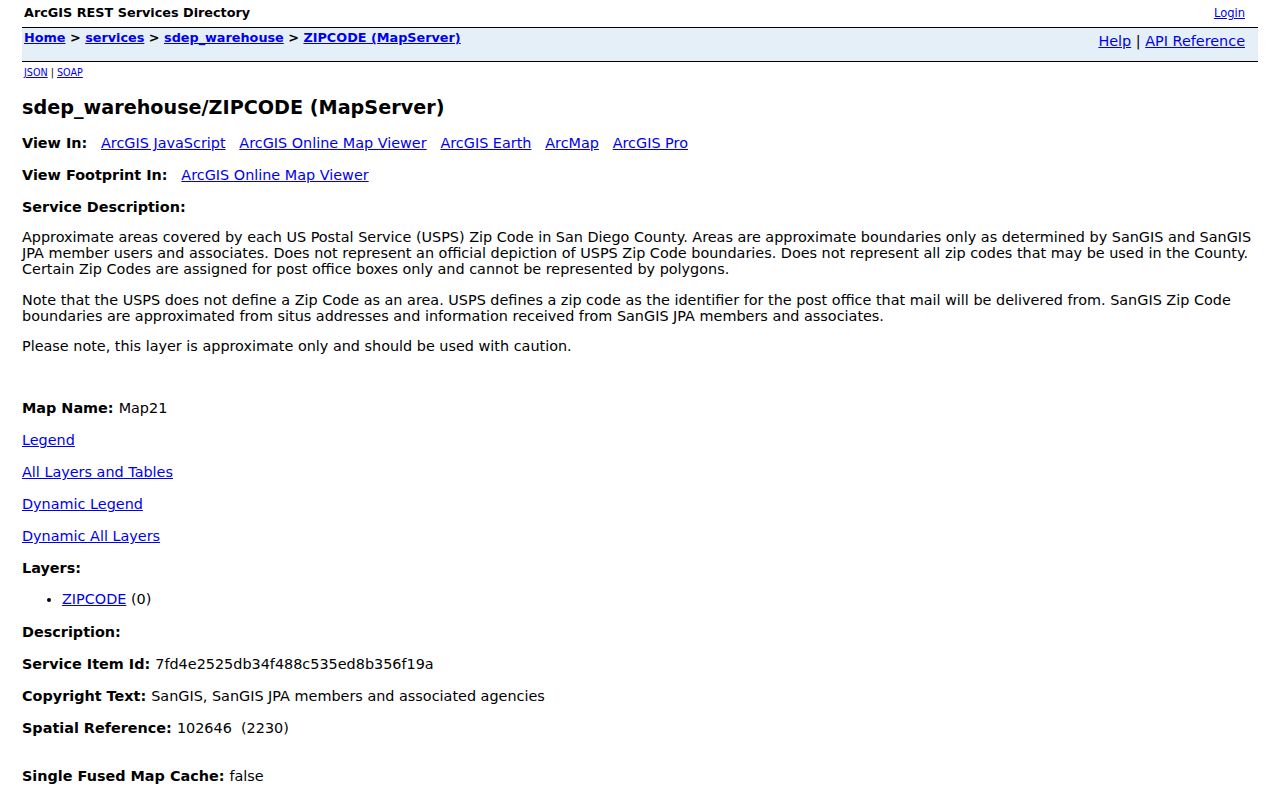
The map helps define a search area, but USPS remains the final check for one complete deliverable address.
- ZIP Code
- A USPS delivery-office routing identifier, not a city or neighborhood legal line.
- ZIP+4
- An added four-digit delivery segment that narrows a complete mailing address.
- PO-box ZIP
- A code used for post-office boxes that may not have a conventional residential polygon.
- Unique ZIP
- A code assigned to one institution, installation, or special delivery use.
- Carrier route
- A delivery sequence inside a postal operation, not a parcel or household boundary.
San Diego Postal Names and ZIPs
Postal names can mislead a San Diego search. ZIP 92037 serves La Jolla, a postal community inside or mostly inside the City. ZIP 92014 reaches a Torrey Pines and Del Mar fringe, and the postal name can read Del Mar even when the address question concerns San Diego. ZIP 92067 reaches a Rancho Santa Fe and San Pasqual fringe with only a portion touching the City. The postal name is not a city-jurisdiction certificate.
The City’s Old Town context provides a good reminder that local geography has layers. Old Town, La Playa, community planning areas, council districts, ZIPs, census geographies, and police neighborhoods can all describe the same address differently. A ZIP search should save the USPS result and then ask which agency’s geography is needed for the next record.
The Old Town community-plan source below shows why a postal label and a civic planning area should not be treated as synonyms.
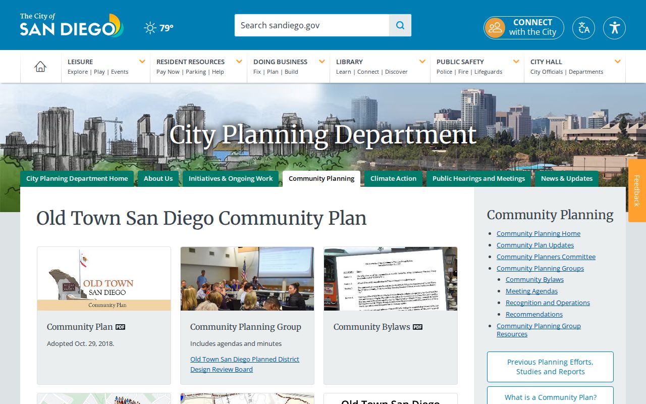
After the ZIP narrows the geography, use the street-level parcel workflow rather than claiming that the postal community itself is a resident list.
San Diego Military and Campus ZIPs
Institutional and military ZIPs deserve their own category. The research lists UC San Diego at 92093, waterfront and fleet use at 92132, Naval Medical Center and military Balboa Park use at 92134, Naval Base San Diego at 92136, Marine Corps Recruit Depot at 92140, MCAS Miramar at 92145, VA San Diego and La Jolla institutional use at 92161, and San Diego State University at 92182. These codes can route mail to an organization or installation instead of representing a conventional residential polygon.
Do not infer a household count, neighborhood population, or current residence from an institutional ZIP. A person connected with a university, hospital, or military installation may appear in an alumni, professional, license, archive, or official organization source without living at the mailing code. For research, separate unique ZIP rows from neighborhood-serving rows and record the institution as the geography.
Finding Residents by San Diego ZIP Code
There is no lawful open “all residents in this ZIP” result in the County voter or assessor workflow. A ZIP can filter some administrative datasets, help select a map layer, or narrow an address list, but each record family keeps its own access rule. Use a complete USPS-verified address when the goal is one person or parcel, then move to APN, deed, permit, directory, license, or approved voter channels.
- Enter the complete address into the USPS ZIP Code lookup and save the returned ZIP and city label.
- Compare the address with SanGIS or County ZIP polygons, the City boundary, community plan, and parcel jurisdiction.
- Use a ZIP-capable public dataset, such as City business-tax data, only for the record category it actually contains.
- For a person, use the fitting official name, court, vital, license, or business route and preserve the source’s date and role.
- Once a ZIP narrows to a street, switch to the San Diego street directory lookup for parcel-by-parcel work.
The search order prevents a ZIP polygon from becoming a false claim about a person’s address. It also keeps the ZIP code directory separate from the address-level record chain.
Filter San Diego Business Records by ZIP
San Diego City Business Tax open data is one of the clearest local datasets with ZIP fields. It can be filtered after download by ZIP, parsed address, business name, DBA, account status, effective or expiration date, ownership type, activity, NAICS, BID, council district, and coordinates. A business row identifies a business record and may include a phone or mailing clue. It does not create a resident directory, and home-based or remote mailing possibilities mean the address needs careful interpretation.
The business-tax screenshot below shows the ZIP-filtered record family that can supplement a San Diego ZIP code directory.
Open San Diego Business Tax Certificates data before using the image.
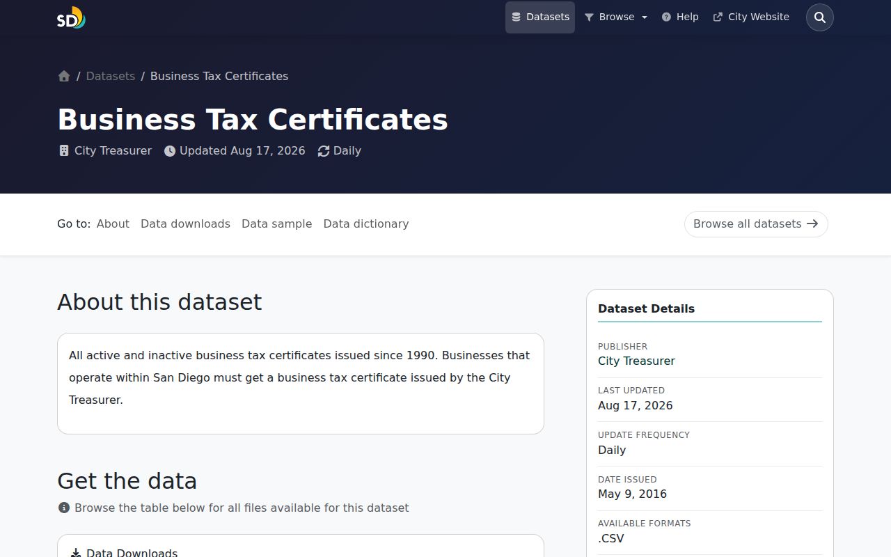
Capture status, effective dates, DBA, owner or ownership type, and NAICS before calling the row current. A ZIP match is a business-geography clue, not proof of a person’s residence.
| ZIP | Delivery geography used for filtering the dataset. |
|---|---|
| Parsed address | Address components that can be compared with a parcel or city record. |
| Account status | Whether the business record is active, inactive, or in another stated state. |
| Effective and expiration dates | Time bounds for the certificate or account. |
| Owner, DBA, NAICS | Business context that should not be converted into a household claim. |
San Diego ZIP Versus Community Plans
Community planning areas are civic geography, while ZIPs are postal geography. A single address can sit in a ZIP, community plan, council district, school district, police neighborhood, census tract, and parcel jurisdiction at once. The City community-planning inventory is useful for the planning layer, but it does not supply an all-resident roster. Use the layer only for the question it was designed to answer.
The City’s demographic maps can add a planning-area context, but a displayed estimate should not be substituted for a ZIP population or used to sum neighborhoods. Census ZCTAs are not identical to USPS delivery geography. The right comparison is address to USPS, then ZIP polygon to city and parcel layers.
The San Diego demographics map screenshot makes the distinction visible: a planning map and postal geography describe overlapping but different systems.
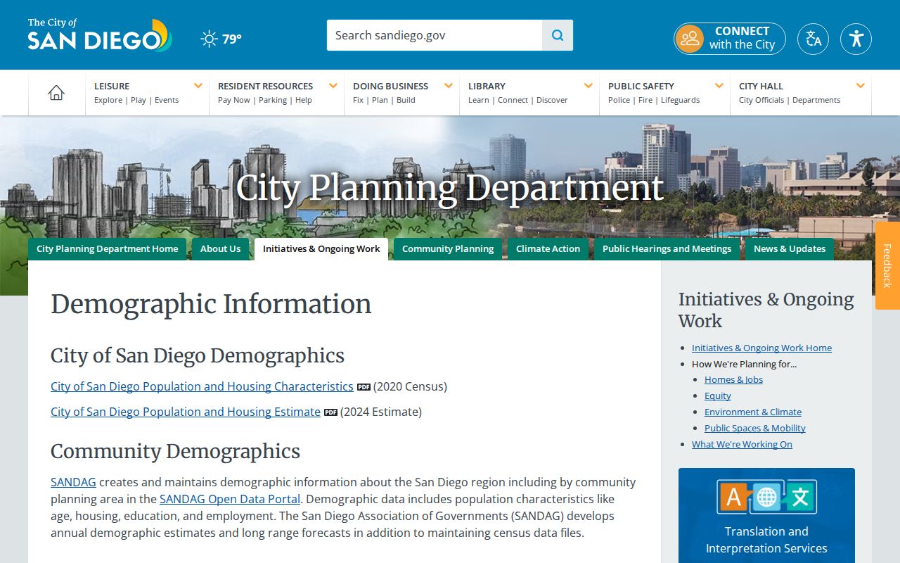
Keep the map date, source name, and geography label in the research note.
Historic San Diego ZIP Checks
Older San Diego records may predate ZIP codes or use postal zones, street guides, and no code at all. A 1984 San Diego Public Library map is period evidence, not current validation. A 2002 City report listed special codes such as 92133, 92196, 92197, 92198, and 92199, which is why a historical ZIP directory should not be rebuilt from a present polygon file. Compare the period map, directory, address, and current USPS result.
The same caution applies to a street that changed number or spelling. Use legal description, subdivision map, Sanborn sheet, and period street guide rather than asserting a single renumbering date. A historic ZIP can help locate a delivery area, but it cannot by itself reconnect an old household to a modern parcel.
San Diego ZIP and City Limits
ZIP boundaries do not equal San Diego city limits. ZIP 92067 includes a large noncity area, ZIP 92127 crosses City and unincorporated geography, and ZIP 92154 reaches boundary-adjacent areas. A city address may carry a postal label associated with a neighboring community, while an address with a San Diego mailing label may fall outside the City. The correct custodian for permits, council districts, police records, and parcel evidence can change with the jurisdiction.
Boundary check. Verify the complete street address with USPS, then compare the City boundary, County parcel jurisdiction, community plan, and ZIP layer before selecting a record office.
That four-part check is the final safeguard for a San Diego ZIP directory. A ZIP narrows the search. The exact address and responsible agency decide what the record can show.
Final San Diego ZIP Directory Check
Before treating a ZIP result as useful, save the complete address, USPS response, ZIP source and date, city or postal label, parcel jurisdiction, and the next record category. Separate neighborhood-serving ZIPs from institutional and military codes. Note when a polygon is approximate or a historical code came from a period map. If the goal becomes “who is at this one address,” move to APN and official records instead of broadening the ZIP query.
The strongest ZIP research ends with a narrower, source-labeled question: which delivery area serves the address, which civic geography contains it, which parcel does it touch, and which custodian can answer the next fact? That is how the San Diego ZIP directory supports careful resident and property research without pretending postal geography is a people roll.