
Sources for San Diego Previous Residents
The previous residents of a San Diego address are reconstructed across a time ladder. Current parcel and deed evidence gives a modern anchor. City directories and telephone books provide named people for publication years. Census schedules show households through 1950. Sanborn maps and permits explain the building or lot. Obituaries, burial books, and probate can connect a former occupant to a family endpoint. The source table keeps those record families separate.
| Source | Years It Covers | Where Held | What It Shows |
|---|---|---|---|
| Online Official Records Index | 1970-present | ARCC web | Party, type, date, document number |
| Grantor and grantee indexes | 1846-1969 | ARCC kiosks and County Archives | Earlier transfer-chain bridge |
| Historic deeds and maps | Deeds to 1845; maps 1854-present | County Archives and Recorder | Conveyance parties and land identity |
| City directories | 1874 early; 1886-2021 advertised onsite | SDPL and City Clerk | Occupant, business, occupation, address |
| Telephone directories | 1906 onward | History Center | Subscriber and address clues |
| Sanborn maps | San Diego guide calls out 1921, 1942, 1956 | SDPL and History Center | Footprint, use, street continuity |
| DSD building records | Pre-1955 Assessor; post-1955 archive; 2003+ online | Assessor and Development Services | Construction and alteration dates |
| Census schedules | Released through 1950 | NARA and library databases | Household, relationship, occupation |
| Obituary and probate records | Obituary microfilm back to 1865; court years vary | SDPL and Superior Court | Death, kin, estate, representative |
Start with the era that matters. A current address needs APN and deed work. A 1920s household needs directories, Sanborns, newspapers, and census. A deceased former resident needs obituary, cemetery, and probate links. No one source should be forced to answer all three questions.
San Diego Parcel for Past Residents
First establish what land the present address represents. Use the County Parcel Lookup or SanGIS to capture situs address, APN, legal description, jurisdiction, and map date. Compare the owner mailing address with the situs, but do not call a match proof of occupancy. Preserve parcel splits, mergers, unit counts, and any tract, lot, or block information.
The County owner-alert service is a different tool. It accepts e-mail, name, and optional APN, up to ten names and ten APNs, and monitors recordings after enrollment. Common names can produce unrelated notices. It can help a current property researcher watch a recording trail, but it does not supply previous residents or a historical title search.
Read the ARCC Owner Alert route before reviewing the screenshot.
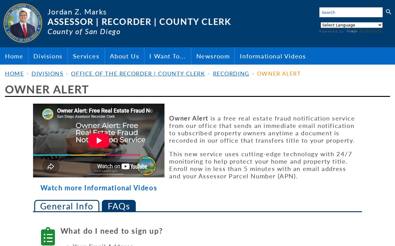
The alert image belongs at the current-parcel stage, where a stable APN is more useful than a guessed household name.
- Chain of title
- The sequence of recorded interests that connects a parcel through successive instruments.
- Grantor
- The party conveying an interest in a recorded instrument.
- Grantee
- The party receiving an interest in that instrument.
- Legal description
- The tract, lot, block, or metes-and-bounds wording that identifies the land.
Tracing San Diego Previous Residents Through Deeds
The deed chain identifies previous owners, not every previous resident. Start with the current assessed owner or vesting deed, then search that owner as a grantee in the ARCC party index. Record the seller as grantor, instrument type, date, number, and legal description. Search the seller as a grantee in an earlier instrument. Repeat while the land description still matches.
- Pull the current parcel and preserve APN, situs, mailing address, and legal description.
- Find the acquisition deed in the 1970-present online party index or use a kiosk when APN search is needed.
- Read the deed image or copy and write down grantor, grantee, document number, date, instrument, and land description.
- Search each seller as an earlier grantee, checking tract, lot, block, map, and parcel changes.
- Move to County Archives indexes, deed books, or mail and counter copies when the web boundary ends.
Stop when the legal description stops matching. A same-named seller without the same land is not continuity. Quitclaims, reconveyances, trustee instruments, liens, and corrective documents need their own interpretation. Purchase price should not be inferred from a deed unless the official record states it clearly.
Note: The ARCC web index begins in 1970, while older grantor and grantee indexes and deed books require the kiosk, archive, counter, or copy route.
San Diego Deeds for Past Residents
Online Official Records metadata covers 1970 forward. Online APN searching ended December 9, 2024, so an address-to-deed search now moves through assessor or GIS evidence before a party search. The public web result shows indexed metadata, not a free image. Kiosks preserve APN searching and image viewing, while ARCC mail orders use the document number, year, party, and type.
The County Archives preserves deeds from 1845-1930, grantor and grantee indexes from 1846-1969, numeric indexes from 1872-1973, Official Records from 1931-1989, and maps from 1854 forward. Its location is 10144 Mission Gorge Road, Santee, with Monday-Friday hours from 8 a.m. to 5 p.m., phone 619-237-0502, and archives@sdcounty.ca.gov. Use the archive catalog and call before relying on a particular series.
The historical-record screenshot below shows why the web cutoff is a handoff rather than the end of a previous-resident search.
Open the San Diego County Archives collections overview before reviewing the image.
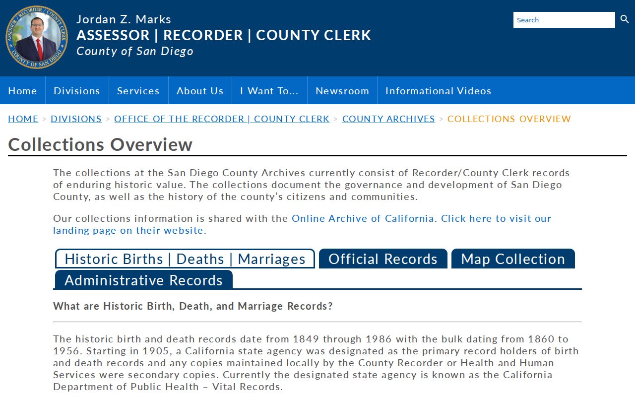
Older records may use ranchos, metes-and-bounds, landmarks, or early subdivision language instead of a modern street address. Maps and legal descriptions are the bridge.
ARCC recording instructions show the current recorder handoff from web party index to kiosk or copy route.
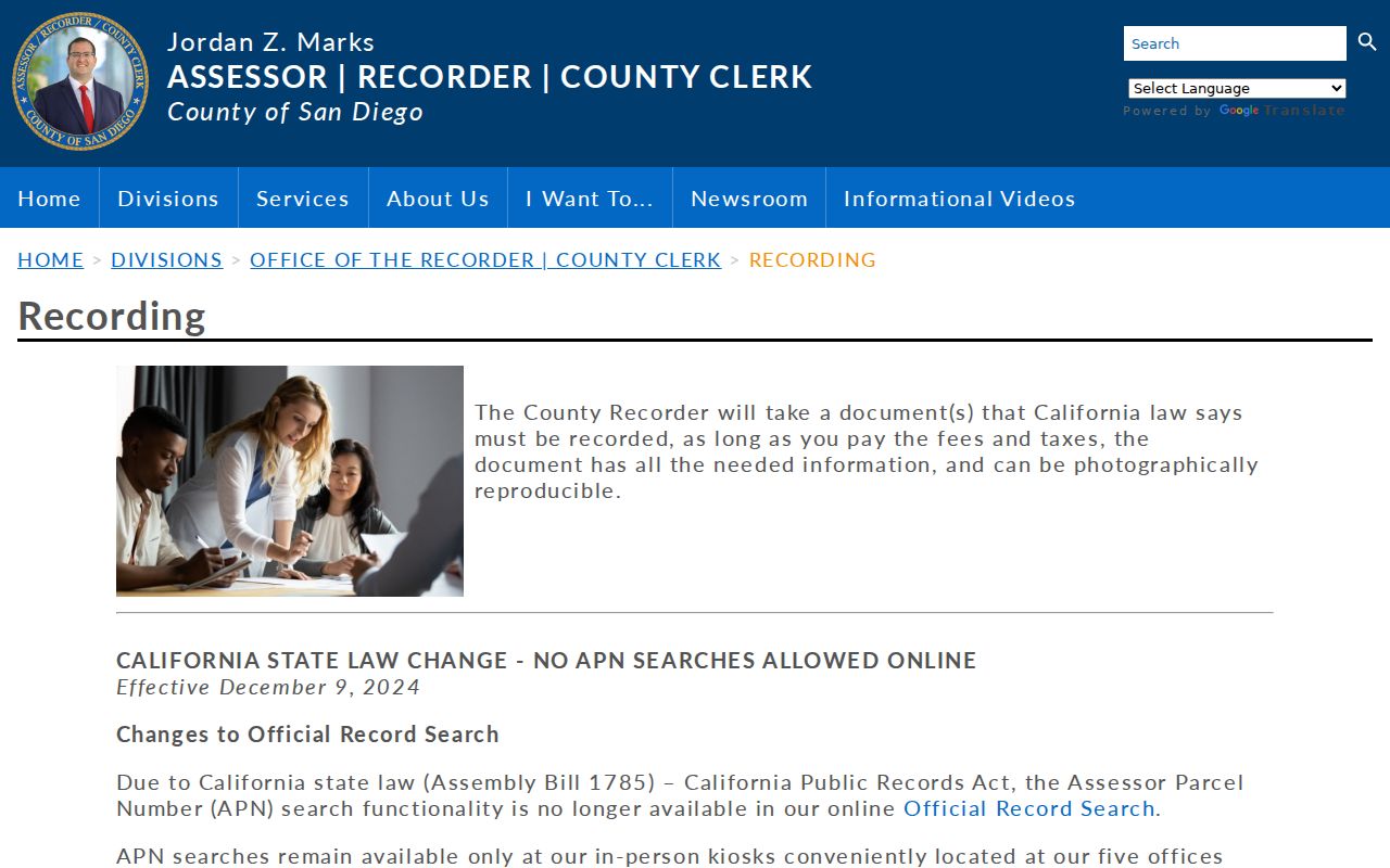
The recording source helps identify the document number, year, party, and instrument details needed for an older deed search.
San Diego Previous-Address Records
Research did not locate an authoritative comprehensive citywide street-renaming or renumbering chronology. That is a useful limit. When a directory address seems to change, compare the old street guide, subdivision map, Sanborn sheet, active or inactive road layer, tract and lot, and deed description. A legal description or parent parcel can reconnect the land without inventing a date for a street change.
SanGIS warns that a situs point can differ from a house, owner, or mailing address, and one parcel can carry multiple addresses. Parcel splits and mergers can retire an APN. A previous resident search should log the old and new identifiers, the map or instrument that connects them, and the reason the match is accepted.
| Old street address | Period label from a directory, map, deed, or newspaper. |
|---|---|
| Modern situs | Current physical address used for parcel location. |
| APN | Current or historical parcel identifier; may retire after a split or merger. |
| Legal description | Land wording used to test continuity through address changes. |
San Diego City Directories for Past Households
City directories add the occupant layer that deeds cannot provide. San Diego Public Library advertises an onsite city-directory run from 1886-2021, while the City Clerk and San Diego Yesterday provide selected digital volumes from 1874 and 1887-1960. An entry may list a name, street address, occupation, spouse, residence mark, or widow notation. The reverse section can show the address side of the same publication.
The full years, publishers, shelves, and entry-reading method belong in the San Diego city directory collection guide. For previous-resident work, select the year nearest the address event, transcribe the key, compare consecutive volumes, and record whether the name appears alphabetically, by street, as a business, or not at all. An absent name can reflect a gap, move, omission, or publisher convention.
The historic record-of-documents volumes add another city-created name trail. Twenty-eight City Clerk “Record of Documents Filed” volumes cover 1901-1959, beginning October 21, 1901. They are not a directory, but they may identify a filing context that helps connect an address, organization, or public record to a year.
Open the City Clerk record-of-documents collection before reviewing its screenshot.
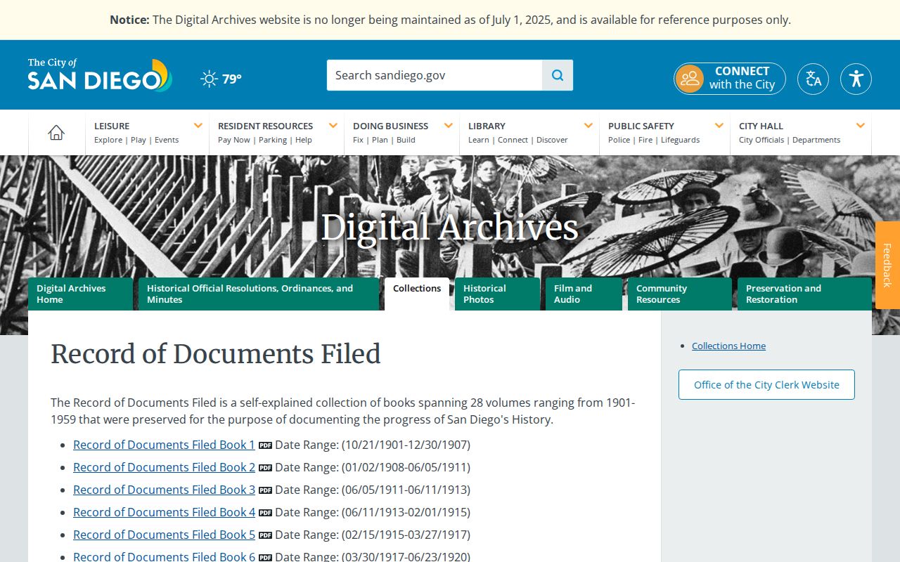
Keep this filing trail separate from an occupancy claim, then corroborate it with directories, deeds, maps, or newspapers.
San Diego Maps for Past Residents
Sanborn fire-insurance maps do not name every resident, but they can show a building footprint, use, lot relationship, and street continuity. The local house-history guidance highlights Sanborn years 1921, 1942, and 1956. Compare a map sheet with a directory address, deed legal description, old street guide, and newspaper real-estate section. A footprint change can explain why an address appears in a different form.
The SOHO San Diego house-history guide recommends year-by-year city or Haines directories, Sanborn maps, old maps, Transcript and Union microfilm, Sunday Union real-estate sections from the 1920s, and Southwest Builder & Contractor after 1927. It is a research route, not a guarantee that every item is online or available for copying.
The SOHO San Diego house-history guide screenshot belongs with the map and directory branch of a previous-resident search.

Use the map to test physical continuity, then use a named record to support the people trail.
San Diego Permits for Past Residents
Development Services records can date construction and alteration episodes without proving a move. Online permit research generally covers 2003 to the present. Post-1955 building records can be reviewed through a Records Review appointment, while properties built before 1955 are referred to the County Assessor. Alternate-method, material, and code-modification applications reach back to 1963. OpenDSD results can show project address, key name, key subject, case or project number, result, status, and dwelling-unit change.
Use the counter and self-service stations when a portal does not contain the needed file. Building-plan review requires an in-person appointment. After January 16, 2018, several categories such as code enforcement, rooftop solar, simple mechanical, electrical, plumbing, traffic-control, and transportation permits moved to Accela. Applicant and contractor names are role evidence, not occupant proof.
Permits are most useful when paired with a Sanborn footprint, a directory entry, a deed, or a dated newspaper notice. A completion or final date can help with building chronology, but an application date alone does not tell who lived there.
Pairing San Diego Directories With Census
The federal census schedules released through 1950 under the 72-year rule provide household relationships and occupation fields that can fill the gaps between city-directory years. Use a directory to establish an approximate address and year, then locate the household in the matching enumeration district. The census may use a different spelling, street order, or address convention, so compare family names, ages, relationships, and occupation rather than relying on one string match.
- Choose the directory year closest to the census date and record the street and household name.
- Identify the likely census year and enumeration geography.
- Compare household members, relationship, age, birthplace, and occupation with the directory clue.
- Use the next directory, a map, or an obituary to test whether the household stayed, moved, or changed name.
Process flow: directory address and name → census household → map or deed land identity → obituary, cemetery, or probate endpoint. Each arrow needs a source and date. A census household is a historical snapshot, not a current contact list.
San Diego Past-Resident Endpoints
Obituaries and burial records can explain why a former resident disappears from a directory. San Diego Public Library’s Union obituary microfilm reaches back to 1865. City Clerk collections separate Mount Hope, Chinese, IOOF, Masonic, County Burials, lot-owner books, and interment tickets. Search those name universes separately because a general cemetery index can hide the collection that matters.
Mount Hope digital records include a burial registry from 1868-1970 and interment tickets from 1936-2009. A cemetery entry can connect a name, date, and kin clue to an address history, but the strongest trail pairs it with a deed, directory, obituary, or probate file. Superior Court probate records can identify an estate, representative, heirs, or petitioner when the file is public.
Open the City Clerk Mount Hope collection before reviewing the screenshot.
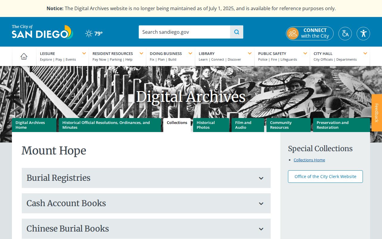
The burial image is a trail endpoint, not a claim that every person connected with the cemetery lived at the researched address.
House-history use. Previous-resident research can support family history and curiosity about a building’s past. Do not use a historical or current address trail to stalk, harass, track, or harm a living person.
San Diego Previous-Address Gap
No authoritative comprehensive citywide street-renaming or renumbering chronology was located in the research. That is not a reason to invent a date. It is a reason to use legal description, subdivision map, Sanborn sheet, period street guide, and active or inactive road GIS together. If all five point to the same tract, lot, footprint, and road continuity, the address bridge is defensible even without one official renumbering table.
Write the conclusion narrowly: “the old directory address appears to correspond to the modern parcel because these sources match.” Keep the old spelling, current spelling, APN, map year, and deed or directory page in the research log. The previous residents trail is strongest when it admits a gap and shows how the land identity was tested.